Differentiating Between Mapping, Surveying, and Modeling: Understanding Their Distinct Roles
In the world of commercial drone operations, three key terms often crop up: drone mapping, surveying, and modeling. While they may seem interchangeable, each term represents a unique aspect of drone-assisted data collection and analysis.
Drone Mapping
Drone mapping is the process of using drones to capture aerial imagery and geospatial data, which is then processed via software to create accurate 2D maps (like orthomosaic maps) and 3D representations (like digital elevation models and point clouds) of the surveyed area. The primary goal is to produce comprehensive spatial data quickly and efficiently over large or complex terrain.
Drone Surveying
Drone surveying, on the other hand, refers more specifically to the precision measurement aspect of using drones equipped with various sensors (RGB, multispectral, thermal cameras, LiDAR) to gather spatial data with the intent of high positional accuracy. Surveying emphasizes centimeter-level accuracy in geolocation (often using RTK/PPK GPS corrections) to ensure precise measurements for engineering, construction, and GIS integration.
Drone Modeling
Drone modeling, often achieved through photogrammetry, is the technique of reconstructing detailed 3D models from overlapping 2D images captured by drones. This can produce textured 3D mesh reconstructions suitable for inspection, visualization, and planning purposes. While it is part of the mapping process, modeling specifically emphasizes creating realistic 3D visualizations rather than just spatial measurements.
A Closer Look
| Aspect | Drone Mapping | Drone Surveying | Drone Modeling | |-------------------|-----------------------------------------|-------------------------------------------|-----------------------------------------| | Goal | Generate 2D/3D geospatial maps and datasets | Obtain precise spatial measurements for positional accuracy | Create detailed, textured 3D visual reconstructions | | Data Capture | Aerial imagery with GPS metadata | Aerial imagery + high-accuracy GPS (RTK/PPK) and sensor data | Overlapping images for 3D photogrammetry | | Output Types | Orthomosaic maps, DEMs, point clouds, 3D mesh | Survey-grade georeferenced data for GIS and engineering | 3D textured models and visualizations | | Accuracy Focus | High resolution, but general geospatial context | Centimeter-level positional accuracy, essential for engineering | Visual and geometric accuracy for realistic models | | Software & Processing | Photogrammetry or LiDAR processing software | Requires rigorous post-processing, GIS integration, use of GCPs | Photogrammetry software converting photos into 3D models |
The Practical and Theoretical
Surveying is a discipline that determines the location of positions or points on a terrestrial surface and determines the distance and angles between them, with standard procedures based on scientific principles. On the other hand, modeling is a practice that creates "digital twins" of real-world objects, with applications ranging from aerial perspectives of skyscrapers to traffic accident sites.
Mapping and surveying are closely related but distinct disciplines. Mapping is considered the more theoretical side, while surveying is the more practical side, with a focus on field practices to get the best results from mapping.
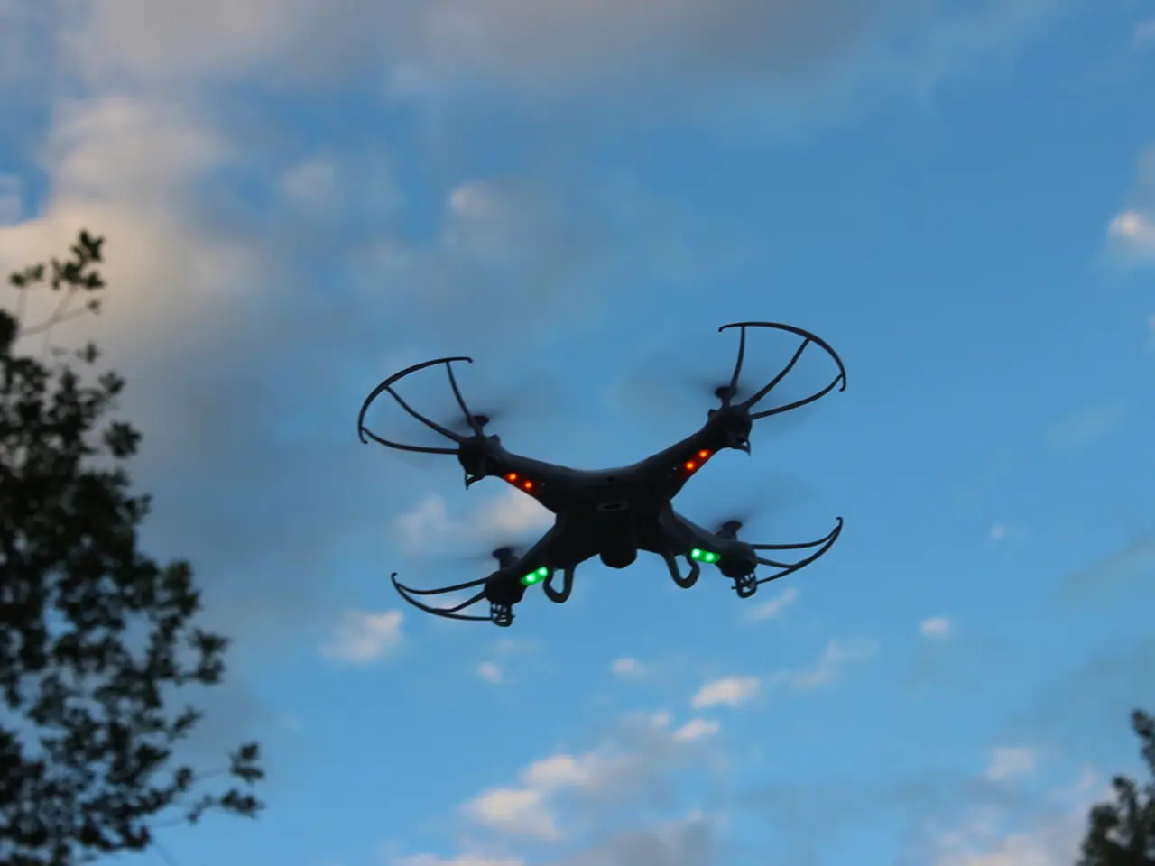
Flying High and Low
Advanced drone flight techniques like Terrain Follow help in ensuring aerial imagery is captured in a consistent manner, especially in survey areas with large variations in terrain. Modeling projects may involve combining aerial images with ground images captured using standard cameras.
In essence, drone mapping is the broad process of spatial data capture and map generation; drone surveying is the precision measurement and georeferencing of those maps and data for technical use; and drone modeling focuses on creating detailed 3D visual representations of physical features. Each discipline offers unique opportunities for data collection, analysis, and visualization, driving innovation in various industries.


