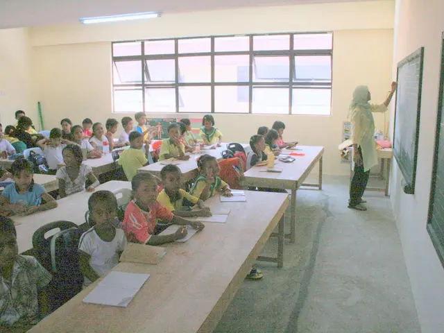
Potential Risks Encountered During Commute to School
Let's talk about the danger zones on your way to school
Navigating the roads to school can be a risky business, and researchers from Polytechnique Montreal are stepping in to help. They've created a tool to assess the safety of each Montreal intersection, based on factors such as traffic intensity, visibility, and street geometry. The tool aims to guide the city in their efforts to make kid's commutes safer, focusing on the areas with the highest risk.
Collisions at intersections can be a sign of danger, but there are many other factors at play. Shabnam Abdollahi, a postdoc in civil engineering, and Owen D. Waygood, a full professor in the Department of Civil, Mining and Environmental Engineering, argue that collisions are the result, not the cause, of the danger.
Four years ago, they kicked off a project to create a tool using a multi-criteria decision analysis (MCDA) method. This tool would help municipalities prioritize school routes to increase safety.
By chatting with parents, kids, and experts, they identified the elements causing concern and potentially endangering schoolkids: traffic characteristics, car speed, driver behavior, heavy vehicle presence, street geometry, bike paths, and parked cars.
"We don't want to wait for a collision to happen before acting," says Abdollahi. "We need to find out which intersections are most concerning to make interventions and increase their level of safety." Abdollahi will present the results of their work at the 92nd ACFAS Congress on May 5-9 at the École de technologie supérieure.
Focusing on Montreal and Westmount
At first, the researchers focused on Montreal and Westmount. By grouping and weighing data, they were able to classify thousands of intersections in the metropolis according to their danger level.
Abdollahi mentions the intersection of Rue Bonin and Boulevard de la Côte-Vertu in Saint-Laurent, and that of Rue Jarry and Avenue Papineau in Villeray-Saint-Michel-Parc-Extension as examples of high-risk intersections.
They also considered the index of school primary school disadvantage, focusing on less affluent neighborhoods where traffic is generally more intense. This index, combined with the danger index, could encourage authorities to prioritize certain sectors when planning safer amendments.
The tool is expected to evolve and improve with data updates. "The goal is to develop a tool that could be used in any city," says Professor Owen D. Waygood. It will not only help determine the best measures, but also measure their impact on danger levels on the street.
Discussions with the City of Montreal are underway to make the tool available to development planning teams. They also plan to adapt it to consider the movements of the elderly, who are more vulnerable to street hazards.
A public website is coming soon to provide access to the collected data.
You might also be interested in:
Up to 40 cm of snow expected in Quebec starting Wednesday evening
The City of Montreal advises against traveling on Thursday due to weather conditions.
"I'm being raped": In the Weinstein trial, an accuser gives a harrowing testimony
Former production assistant Miriam Haley spoke about the sexual assault she accuses Harvey Weinstein of.
Better predicting the impact of meteorological disasters
Science allows us to predict disasters, but we still need to anticipate their consequences.
- The researchers from Polytechnique Montreal, focused on Montreal and Westmount, have developed a tool based on a multi-criteria decision analysis (MCDA) method, which aims to group and weigh data to classify thousands of intersections in the metropolis according to their danger level.
- Shabnam Abdollahi, a postdoc in civil engineering, and Owen D. Waygood, a full professor in the Department of Civil, Mining and Environmental Engineering, recommend that authorities prioritize certain sectors when planning safer amendments, considering factors like traffic characteristics, car speed, driver behavior, heavy vehicle presence, street geometry, bike paths, and parked cars.
- By identifying high-risk intersections such as Rue Bonin and Boulevard de la Côte-Vertu in Saint-Laurent, and Rue Jarry and Avenue Papineau in Villeray-Saint-Michel-Parc-Extension, Abdollahi aims to testify at the 92nd ACFAS Congress on May 5-9 at the École de technologie supérieure, about the interventions required to increase their level of safety.
- Long before a collision occurs, science recommends finding out the possible danger zones by focusing on elements like traffic characteristics, car speed, driver behavior, heavy vehicle presence, street geometry, bike paths, and parked cars, to ensure the health-and-wellness, fitness-and-exercise, and education-and-self-development of schoolchildren.
- As the weather conditions in Quebec are predicted to bring up to 40 cm of snow starting Wednesday evening, the City of Montreal advises against traveling on Thursday, and it is expected that the tool developed by Abdollahi and Waygood will evolve and improve with data updates, and will not only help determine the best measures, but also measure their impact on danger levels on the street.